The Map of Honduras
The first general map of the Republic of Honduras at a scale of 1:500,000 was prepared by Dr. Jesús Aguilar Paz, approved by the Government through agreement number 689 of January 23, 1930.
An improved and updated second edition appeared in 1954, this geographical map filled for a long time an important gap in the country’s cartographic information, since there were no government agencies that satisfied such a need.
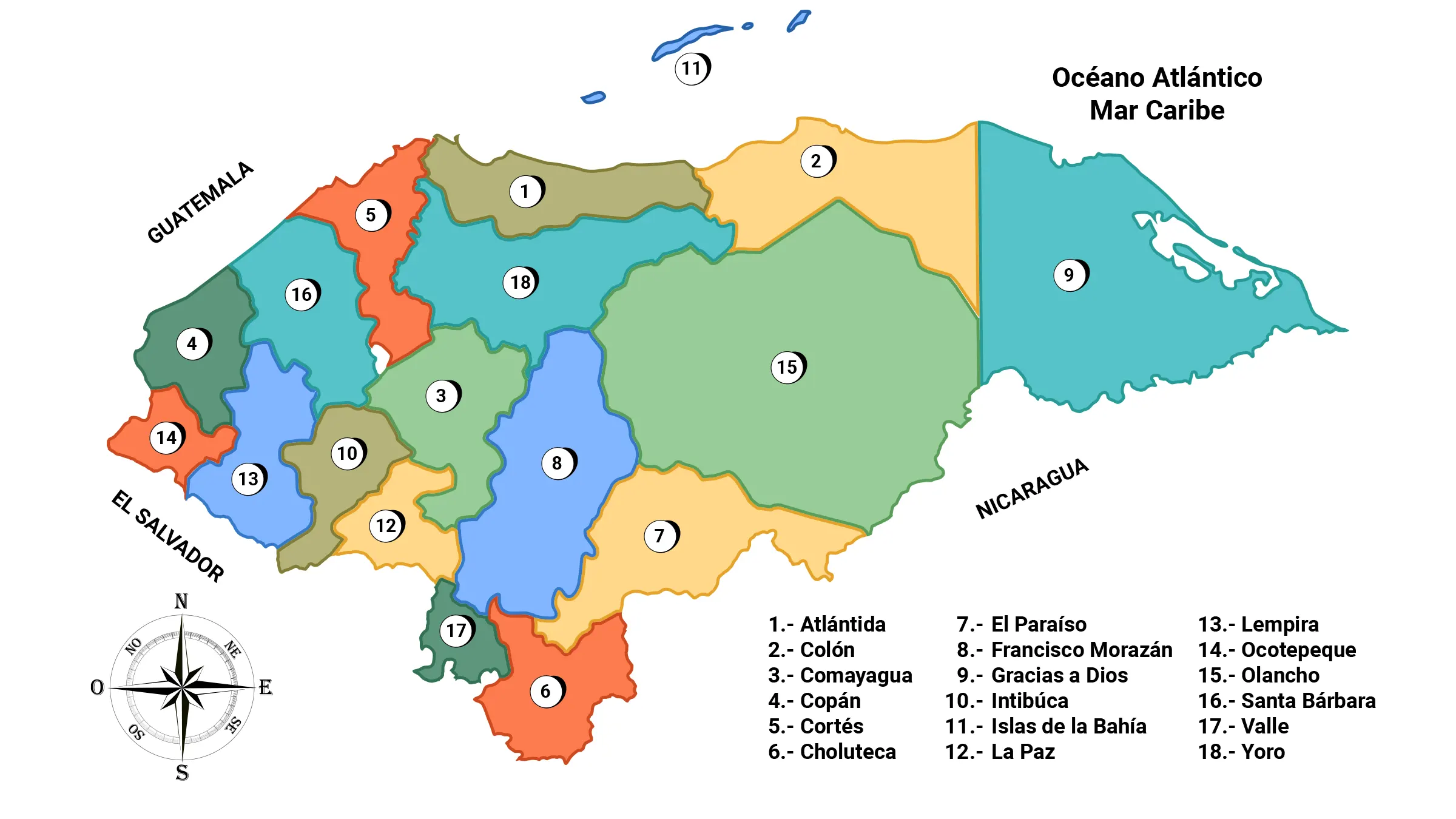
Political division of Honduras
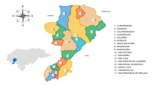
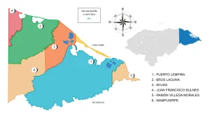
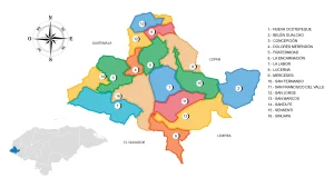
In its political division it consists of the following 18 departments:
What does the map of Honduras represent?
The map is the geographical representation of Honduras, it shows the country’s 18 departments, the oceans that bathe its coasts, the border areas and the various elements that make up the relief.
More than 65% of the Honduran territory is mountainous, with fertile valleys crossed by rivers, seas, islands and coasts, all made up of a rich biodiversity of species, comprising a variety of ecosystems and genetic differences within each species , coupled with beautiful landscapes.
Likewise, the names of the cities, municipalities, villages and hamlets established throughout its territory, including the island areas, appear.
The current and official map of the Republic of Honduras currently has 112,492 km2 it meets the three-dimensional latitude requirements, it contains a total of 404 kilometers that have been delimited. incorporated into the territory after the ruling of The Hague on September 12, 1992, following the definition of borders between Honduras and El Salvador.
Honduras borders to the north with the Caribbean Sea or the Antilles, to the east and southeast with the republic of Nicaragua, to the south with the Gulf of Fonseca and the republic of El Salvador, and to the west with the Republic of Guatemala.
Honduras is geographically located between 15° 00′ north latitude, 13° 33′ south latitude, 83° 9′ east longitude and 86° 30′ west longitude.
Who was Jesús Aguilar Paz?
Dr. Jesús Aguilar Paz, apart from his chemical and pharmaceutical profession and professor; He had his inclinations towards geography, which is why he toured the country on his own on mule back, between the years 1915-1933, creating the first official map of Honduras.
The map of Dr. Jesús Aguilar Paz is considered a work that, having fulfilled its purpose by providing a geographical representation of Honduras, now contributes as a source of unquestionable historical value.
Today it is in one of the exhibition rooms of the Museum for National Identity of Tegucigalpa.
Dr. Jesús Aguilar Paz received the Ramón Rosa Order in 1969 and in 1971 the National Science Prize due to his high merits in favor of Honduras.
He was originally from Gualala, Santa Bárbara was born on October 15, 1895, he married María Eva Cerrato in 1927, he was also part of La Revista de la Society of Geography and History of Honduras, and died on June 26, 1974 at the age of 79.