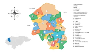
Municipality of Alubaren
Municipality in the department of Francisco Morazán, in the Republic of Honduras.
Its founding date is believed to coincide with the inscription on its church’s custody from the year 1686. In the population census of 1791, it was already listed as a curate town of Aguanqueterique.
On March 13, 1843, the town of Alubarén, which belonged to Comayagua, was added to the district of Nacaome and consequently to the department of Choluteca; in 1869, it became part of the department of La Paz, and in 1878, it was added to Tegucigalpa (now Francisco Morazán), and in the territorial political division of 1889, it was a municipality of the district of Reitoca.
General Information of Alubaren
Origin of its name: in Mesoamerican language, it means «next to the houses of the parrots.»
- Territorial area: 47.53 km2
- Population: 5864 inhabitants (2012)
- Date of establishment: March 3, 1905
- Patronal fair: from August 10 to 12, in honor of Saint Lorenzo.
- Villages and hamlets: 3 villages and 33 hamlets.
- Elevation: 450 meters above sea level.
- Climate: rainy with a very dry winter.
Main economic activity
Cultivation of staple grains, sugarcane, vegetables, and seasonal fruits; raising cattle, horses, pigs, and goats; poultry farming.
Location
Surrounded by hills, very close to the place called Justina, on the left bank of a small stream.
Limits
- North: municipality of Reitoca;
- South: municipalities of San Miguelito and San José (Choluteca);
- East: municipality of Reitoca;
- West: municipality of Curarén.