Municipality of Opatoro
The municipality of Opatoro belongs to the Department of La Paz.
In the report made by Governor Alonso de Contreras Guevara in 1582, the indigenous town of Opatoro already existed, belonging to the city of Comayagua with eighteen tribute payers entrusted to Yseo de Herrera. Later, in 1791, it was a town in the Cururú curacy. In the 1889 statistical yearbook, it appears as a municipality since 1859.
General Data of Opatoro
Origin of its name: in Mesoamerican language, it means «place of games».
- Territorial area: 238.70 km2
- Population: 8,34S inhabitants (2012)
- Date of creation: 1859
- Patronal festival: January 15th, day of the Lord of Esquipulas; and from August 13th to 16th, day of the Virgin of Los Angeles.
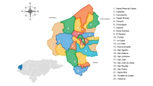
- Villages and hamlets: 6 villages and 64 hamlets.
- Altitude: 1560 meters above sea level.
Main Economic Activity
Cultivation of basic grains, coffee, sugarcane, citrus fruits, bananas, and vegetables; cattle, horse, goat, and pig breeding; poultry farming.
Infrastructure
- Health: 1 CESAMO, 2 CESAR.
- Education: 74 primary education centers, 23 pre-primary education centers, and 2 secondary education centers.
Location
Located in uneven terrain, very close to the Marcala mountain and surrounded by hills.
Limits
- North: municipality of Chinada;
- South: Republic of El Salvador;
- East: municipalities of Mercedes de Oriente and Guajiquiro;
- West: municipalities of Santa Ana and Marcala.