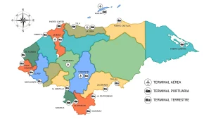
Map of the Department of Islas de la Bahia
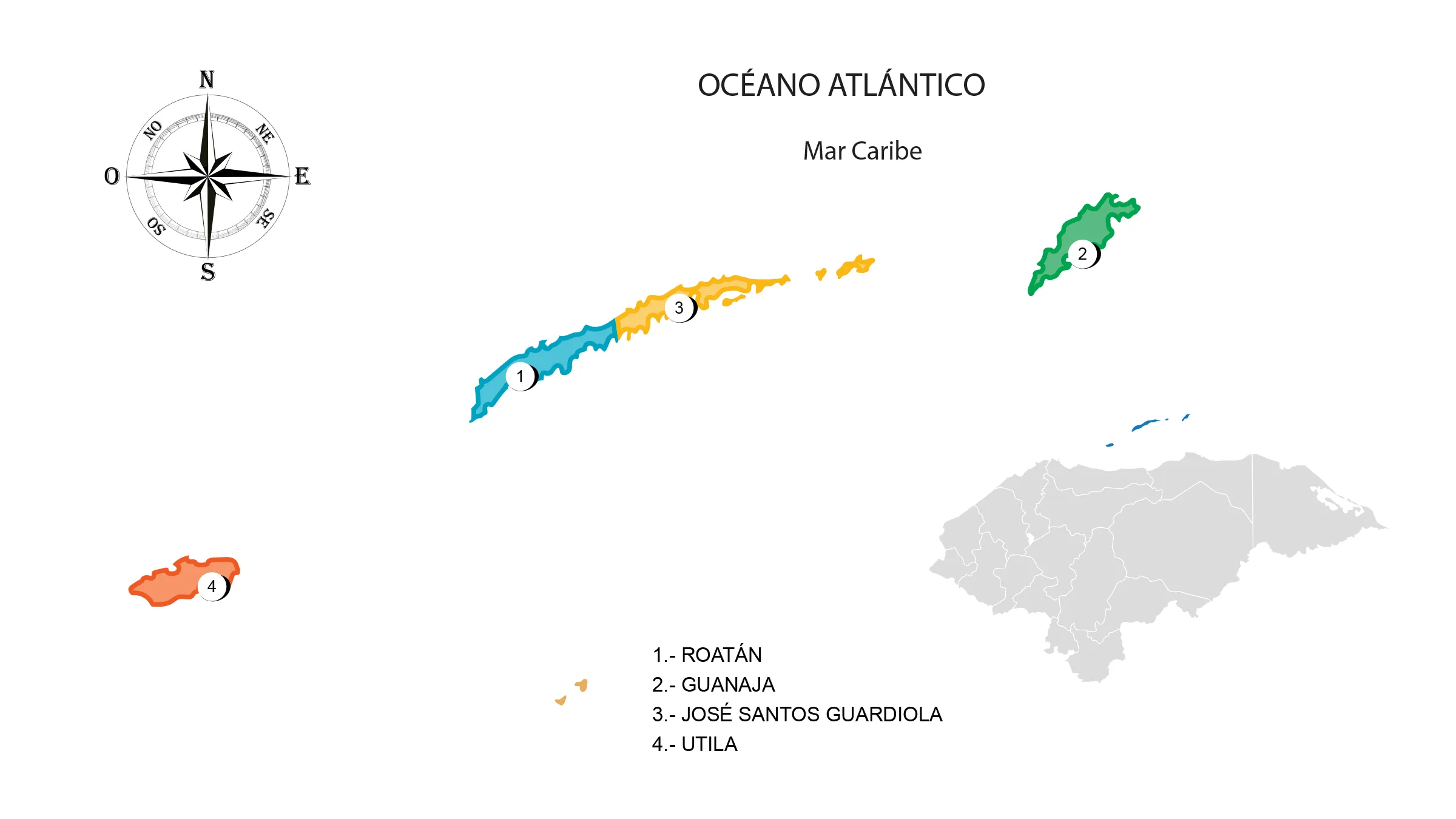
The Bay Islands Department is located in the Caribbean Sea or the Antilles (Insular department) in the north of the country. It has a territorial area of 236 km².
The Bay Islands are an archipelago consisting of three main islands and several smaller ones in the Caribbean Sea: Roatán, Guanaja and Utila.
Boundaries
- The three islands are surrounded by several keys and the Caribbean Sea or the Antilles Sea.
Municipalities
See List of Municipalities of Honduras
- Roatán (Cabecera departamental)
- Guanaja
- José Santos Guardiola
- Utila