List of Mountains of Honduras
The Mountains of Honduras are grouped into 3 mountain ranges or mountain groups, and its relief is also made up of mountains by valleys, hills, plains and hills that cover 82% of the national territory. p> Honduras is the most mountainous country in the Central American region, it is part of the Central American Cordillera that crosses the country from northeast to southeast and divides it into two large mountainous regions , the Eastern and the Western. See also Geographic Regions of Honduras
The line of the Central American Mountain Range enters Honduras through the Guatemala border and continues southeast, while a spur of it takes a northeastern direction towards the Bay of Honduras. At the point of separation (southeastward), it is known as El Gallinero, Montaña del Merendón, and La Grita.
Great Transversal Depression
The depression of Honduras, also known as the Great Transversal Depression, is a massive geographical feature that extends from the Gulf of Honduras in the Caribbean Sea to the Gulf of Fonseca on the Pacific coast.
This depression crosses the departments of Cortés, Comayagua, La Paz, and Valle, following the course of the Ulúa, Humuya, and Goascorán rivers.
The 3 Mountain Ranges
- Northern Mountain Range
- Central Mountain Range
- Southern Mountain Range
Northern Mountain Range
Learn more about The Northern Mountain Range of Honduras The Northern Mountain Range, also known as the Sierra del Norte, is composed of a group of mountains that are known to be the oldest in Honduras due to their geological structure. The Great Sula Valley interrupts the Northern Mountain Range and separates the Sierra Nombre de Dios from the Sierra de Omoa.
Central Mountain Range
Learn more about The Central Mountain Range of Honduras The Central Mountain Range is an area dominated by medium-sized mountains, averaging 1,400 meters above sea level (masl), which creates a pleasant climate for most of the year. The following sierras are found in this range: El Gallinero, Atima, Montecillos, Comayagua, Mico Quemado, Sulaco, Misoco, Agalta, Punta Piedra, and La Esperanza.
The topography of the Central Mountain Range is mainly composed of steep mountains of medium size, ranging around 1,400 masl, and it has a very pleasant climate for most of the year.
Southern Mountain Range
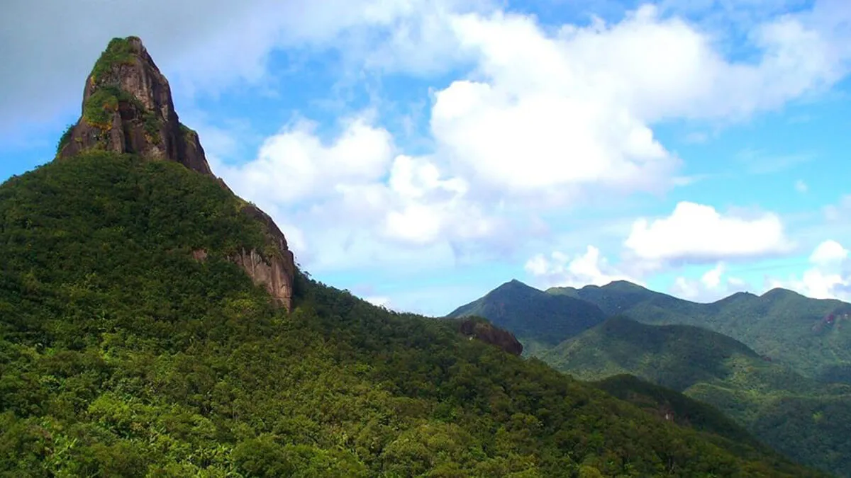
Learn more about The Southern Mountain Range of Honduras The Southern Mountain Range traverses the Honduran territory from the Department of Ocotepeque to Gracias a Dios. The country’s highest mountains are located here.
The Southern Mountain Range is formed by the following mountains: Sierra de El Merendon, Celaque, Puca-Opalaca, La Sierra, Lepaterique, and Dipilto.
Highest Mountains in Honduras
Here are some of the highest mountains in Honduras:
- Pico Celaque o Cerro Las Minas – Sierra de Celaque, 2,849 msnm
- Pico El Pital – Sierra de El Merendón, 2,730 msnm
- Pico Moroncho – Montaña de Montecillos, 2,744 msnm
- Sierra de Agalta – 2,590 msnm
- Sierra de Montecillos – 2,459 msnm
- Pico Bonito – Sierra Nombre de Dios, 2,436 msnm
- Cerro Montecreisto, Sierra de El Merendon, 2,419 msnm
- Pico La Picucha – Montaña de Babilonia (Sierra de Agalta), 2354 msnm
- Cerro La Peña de Andino – Parque Nacional La Tigra, 2,290 msnm
- Montaña de la Flor, Montaña de Yoro, 2,282 msnm
- Cerro San Francisco, Montaña de Yoro, 2,282 msnm
- Pico Pijol – Montaña de Sulaco, 2,282 msnm
- Cerro La Estrella – Parque Nacional La Tigra, 2,245 msnm
- Sierra de Omoa – 2,242 msnm
- Montaña de Yerbabuena – 2,243 msnm
- Pico Puca, Sierra de Puca o Palaca, 2,234 msnm
- Cerro Mogoton, Montaña de Dipilto, 2,107 msnm
- Cerro Azul, Montaña Cerro Azul Meambar, 2,047 msnm
- Montaña de Comayagua – 2,048 msnm
- Cerro Sangrelaya, Montaña de La Esperanza, 1,800 msnm
- Montaña de Cuyamapa – 1,686 msnm
- Montaña de Colon – 1,635 msnm
- Montaña de Misoco – 1,522 msnm
- Sierra de Mico Quemado – 1,503 msnm
- Cerro Payas, Montaña de Río Platano – 1,083 msnm
Questions and Answers
What is the highest mountain in Honduras? The Celaque Mountain in Cerro Las Minas is the highest point in Honduras, reaching an elevation of 2,870 meters above sea level (masl). The place is part of Lenca culture and has been included in the UNESCO World Network of Biosphere Reserves.
See also
- Geography of Honduras
- Geographic Regions of Honduras
- Coffee Growing Regions in Honduras
- Political and Administrative Division of Honduras
- List of Rivers, Lakes, and Lagoons in Honduras
- List of Valleys in Honduras and their Productions


