Municipality of Aguanqueterique
The municipality of Aguanqueterique belongs to the Department of La Paz.
This name appears in the 1582 report by Governor Alonso de Contreras Guevara as an indigenous village of the City of Comayagua, with 32 tribute-paying indigenous families entrusted to Juan Ruiz de La Vega.
In the ecclesiastical census of 1791, it is listed as part of the curacy of Comayagua, and in the first political division of the state of Honduras in 1825, it is mentioned as the parish of Goascorán. In Vallejo’s statistical yearbook, it appears as a municipality starting in 1889.
General Information about Aguanqueterique
Origin of its name: In the Mesoamerican language, it means «place of the avocados.»
- Territorial area: 187 km2
- Population: 5,357 inhabitants (2012)
- Date of creation: 1889
- Patronal festival: September 24, day of Our Lady of Mercy
- Villages and hamlets: 1 village and 63 hamlets
- Elevation: 405 meters above sea level
- Climate: Rainy with a very dry winter
Main Economic Activity
Cultivation of basic grains, sugarcane, and coffee; raising of cattle, horses, goats, and pigs; poultry farming.
Location
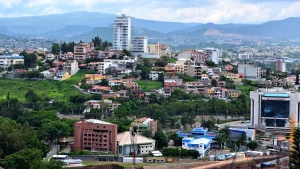
Surrounded by mountains and hills in the foothills of the Cebollal Mountain, southwest of Francisco Morazán.
Limits
- North: municipality of Lamaní (Comayagua)
- South: municipality of Lauterique
- East: municipalities of Curarén and Lepaterique (both in Francisco Morazán)
- West: municipalities of Guajiquiro, San Juan, and San Antonio del Norte


