Municipality of La Libertad – Francisco Morazán
It is a municipality in the department of Francisco Morazán, in the Republic of Honduras.
It was originally a village of Alubarén. It was granted municipality status in March 1864, and in the political territorial division of 1889, it was one of the municipalities in the district of Reitoca.
General Information of La Libertad
Origin of its name: It is believed that the name comes from the term «pueblo libre,» which means «free town,» exclaimed by its residents shouting «Viva la libertad!» (Long live freedom!).
- Territorial area: 42.18 km2
- Population: 2,981 inhabitants (2012)
- Date of creation: March 1864
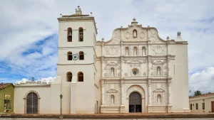
- Feria patronal: December 15-31, in honor of the Virgin of Concepción.
- Villages and hamlets: 2 villages and 19 hamlets.
- Elevation: 357 meters above sea level.
- Agriculture: Basic grains, sugarcane, vegetables, and coffee.
- Climate: Rainy with a very dry winter.
Principal Economic Activity
Cattle farming, goat farming, pig farming, and poultry farming.
Infrastructure
- Health: 2 CESAR (Rural Health Centers).
- Education: 10 basic education centers, 5 pre-basic education centers, and 1 middle education center.
- Transportation: Buses depart from the terminal in Tegucigalpa and Nacaome.
Location
Surrounded by the Colorado and Higos hills.
Limits
- North: Municipality of San Miguelito;
- South: Municipality of San Francisco de Coray (Valle);
- East: Municipality of San José (Choluteca);
- West: Municipality of Curarén.