List of Protected Areas and Parks of Honduras
Honduras is located in the extreme north of the tropics. The interaction of geological formations with large-scale climatic expressions gives rise to a surprising variety of climatic conditions for a relatively small country.
These different climatic conditions entail a great differentiation in species and, in the same way, allow the presence of different forest ecosystems that go from humid broadleaf forests, pine forests, cloud forests, to dry forests, among others.
History of Protected Areas
Historically, the process of creating protected areas in Honduras originated in 1952, with the declaration of the San Juancito Forest Reserve as the first protected area in the country (today La Tigra National Park).
In 1958 Decree 13-58 was approved for the protection of the Mangroves of the Gulf of Fonseca. Then in 1961 the Guanaja Forest Reserve was declared at the municipal level through Decree 49-1961. In 1971, the State declared Lake Yojoa as a Multiple Use Area through Decree 71-71 and in 1978 the Port Royal Wildlife Refuge was decreed as protected at the municipal level.
Subsequently, considering the imminent threat of the loss of biodiversity and priority natural resources such as water, a broad declaration of protected areas originated in the 1980s through Decree 87-87, among which 37 forest areas cloudy, the Río Plátano Biosphere Reserve and the Ruinas de Copán National Monument.
General Environmental Law
With the publication of the General Environmental Law in 1993, the creation of SINAPH was agreed, thus providing institutional protection to the set of legally protected areas.
In 1991 the Department of Protected Areas and Wildlife (DAPVS) was created as a regulatory and administrative state body for protected areas, generating in 1994 the first Manual of Technical-Administrative Standards for Protected Areas in Honduras.
In this period, new protected areas are created and the participation of organized civil society in alliances with the government sector is evidenced through the establishment of co-management agreements.
Since 2000, the Punta Izopo National Park, the Cayos Cochinos Marine Natural Monument, the La Botija Multiple Use Area, the Honduran Emerald Hummingbird Species / Habitat Management Area, the Nombre de Dios National Park and the Marine National Park have been declared. Bay islands.
Parks
National Parks
- Patuca
- Warunta
- Cusuco
- Celaque
- Sandy Bay-West End
- Meambar Blue
- Kruta
- Nice Peak
- Yoro Mountain
- Montecristo Trifinio
- Cerro Azul Copan
- Pijol Peak
- Sierra de Agalta
- The Tigra
- Capiro and Calentura
- Santa Barbara Mountain
- Comayagua Mountain
- Jeanette Kawas (Punta Sal)
- La Botija
- Punta Izopo
- Marino Guanaja
- Marine Gulf of Fonseca
- Marino Cayos Misquitos
Bookings
Biosphere Reserve
Biological Reserves
- Arenal
- The Cipresal
- The Pacayal
- Burned Monkey
- Mughal
- Rus Rus
- Sabanetas
- Saint Peter
- Saint Paul
- El Pital
- Cerro Pacayita Volcano
- Güisayote
- The crackpot
- Opalaca
- Misoc
- The Chile
- Yuscarán
- Good herb
- Guajiquiro
- Hills
- Uyuca
- Zapotillos Cays
- Bars of the Motagua River
- Wild Lagoon of Caratasca
- Between rivers
- Monserrat
Forest reserves
- Guanaja
- Mocoron
- Flower Mountain (Anthropological Forest Reserve)
- Rio Tinto
- Olancho Forest Reserve
- Agalteca Forest Reserve
- El Cajon Resource Reserve
- Sierra de Omoa Protected Area
- El Jaconal El Higal Water Protection Area
Marine Reserves
Wildlife Refuges
- Turtle harbor
- Utila Keys
- Port Royal
- st. Helen
- Leather and Salty
- Erapuca
- Puca Mountain
- Mixcure
- Green Mountain
- Texiguat
- The Armed
- The wall
- Guaimoreto Lagoon
- Playpens
Multiple Use Area
- Guanacaure Hill
- Carías Bermúdez
- Yojoa lake
- Tiger island
Habitat / Species Management Area
- Chismuyo Bay
- San Lorenzo Bay
- Saint Bernard
- The Barbary
- Las Iguanas – Punta Condega
- The Delgaditos
- The Jicarito
- Honduran Emerald Hummingbird Species
Water Production Area
- Danli
- The Merendon
Monuments
Natural monuments
- Boquerón Mountain
- Toco River
- Congolón and Coyocutena Hills
- Cayos Cochinos Archipelago
- Talgua Caves
- Taulabé Caves
Cultural Monuments
- Copan Ruins
- Ruins of Tenampúa
- Petroglyphs of Ayasta
- Fortress of San Fernando de Omoa
- Ruins of the White City
Botanical Garden
Caves and Caverns
- Giant’s Cave
- Warunta Cave
- Pencaligue Cave
- Masical Cave
- Cuyamel Cave
- El Boquerón Cave (Copán)
- White Stone Cave
- El Naranjo Cave
- Cave The Site
- Cerro Casque or Cosquin Cave
Petrified Forests
- Ojo de Agua Petrified Forest
- Petrified Forest San Mateo
- Petrified Forest The Site
Hills
- Hill of the Screws
- Hills of Los Cascos
- Cerro Nevada
- Yustina Hills – Ceran
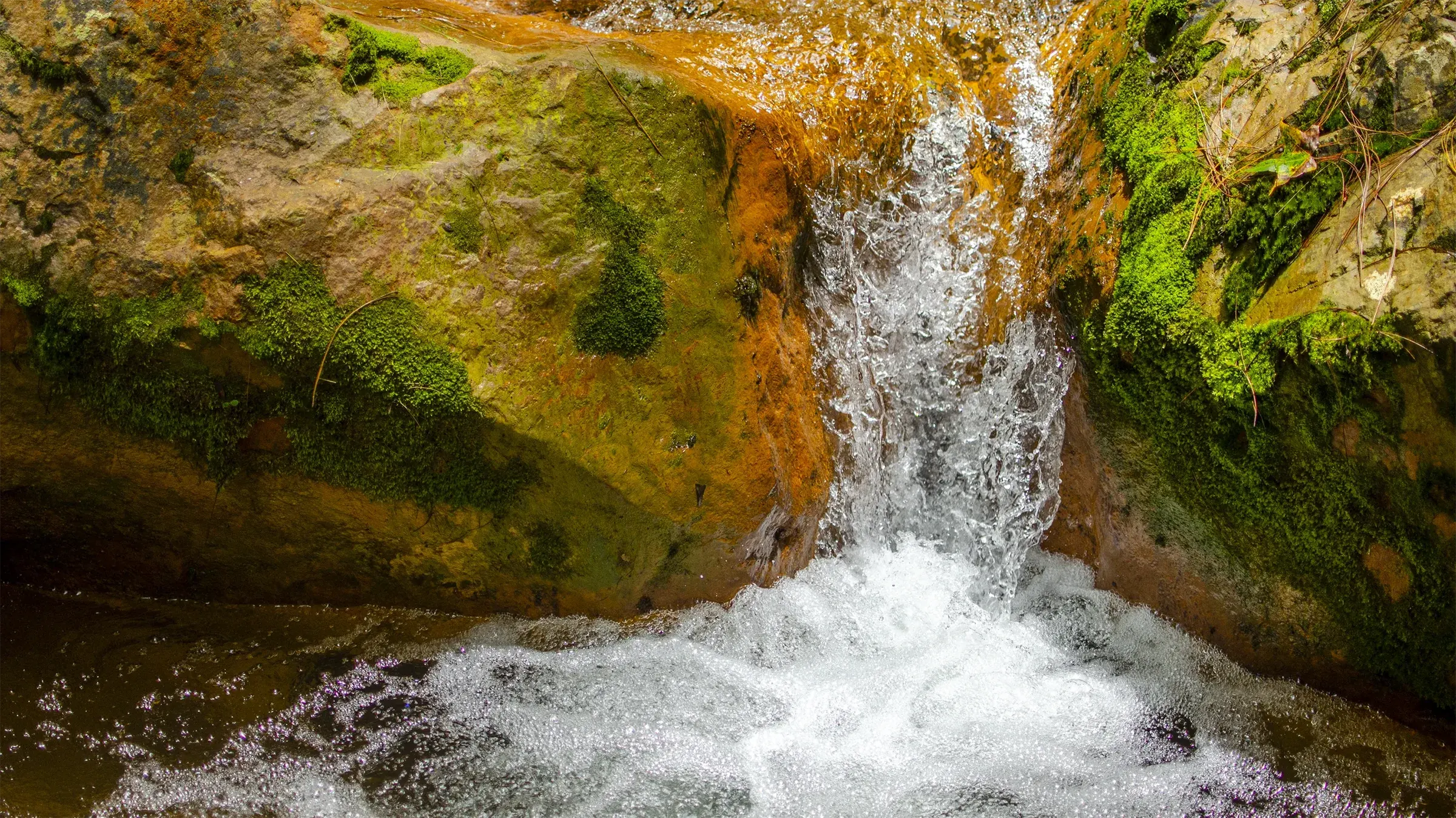
Waterfalls, Grottoes and Mines
- Pulhapanzak Falls
- Anchovy
- Punta Caxina
- Hell Portal
- River of the Giants
- Grotto of Ayasta
- Grotto of Yaguasire
- Obsidian Mines


