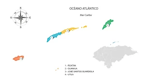
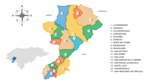
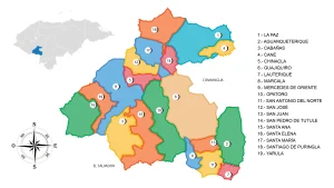
Map of the Department of Santa Barbara
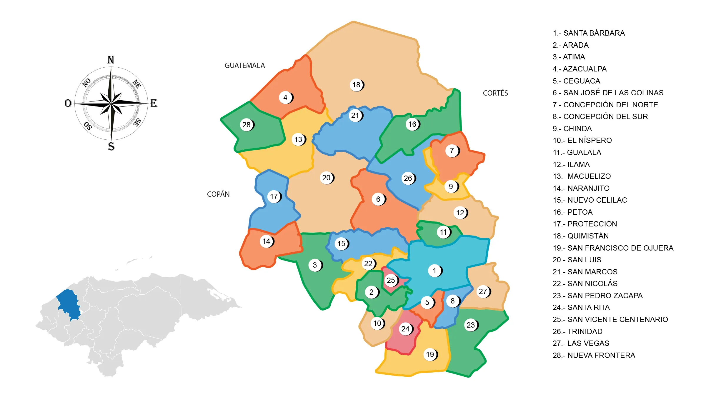
The Santa Barbara Department is located in the northwestern part of the country. It has a territorial area of 5,025 km².
It was one of the seven departments originally created by the first head of state of Honduras, Don Dionisio de Herrera on June 28, 1825.
Boundaries
- North: Department of Cortés and Republic of Guatemala;
- South: Departments of Lempira and Intibucá;
- East: Departments of Cortés and Comayagua;
- West: Department of Copán.
Municipalities
See List of Municipalities of Honduras
- Santa Bárbara 1601
- Arada 1602
- Atima 1603
- Azacualpa 1604
- Ceguaca 1605
- San José de las Colinas 1606
- Concepción del Norte 1607
- Concepción del Sur 1608
- Chinda 1609
- El Níspero 1610
- Gualala 1611
- Ilama 1612
- Macuelizo 1613
- Naranjito 1614
- Nuevo Celilac 1615
- Petoa 1616
- Protección 1617
- Quimistán 1618
- San Francisco de Ojuera 1619
- San Luis 1620
- San Marcos 1621
- San Nicolás 1622
- San Pedro Zacapa 1623
- Santa Rita 1624
- San Vicente Centenario 1625
- Trinidad 1626
- Las Vegas 1627
- Nueva Frontera 1628