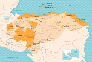
Map of the Department of Choluteca
Choluteca Department is located in the southern part of the country. It has a territorial area of 4,360 km².
Choluteca was one of the seven original departments into which Honduras was divided after its independence in 1825. Its borders, however, have changed throughout history. In 1843, the Guascorán district, until then part of Comayagua, was added to its territory. In 1893, its westernmost part was separated with the creation of the department of Valle.
Boundaries
- North: Departments of Francisco Morazán and El Paraíso
- South: Republic of Nicaragua and the Gulf of Fonseca
- East: Republic of Nicaragua
- West: Department of Valle and Gulf of Fonseca.
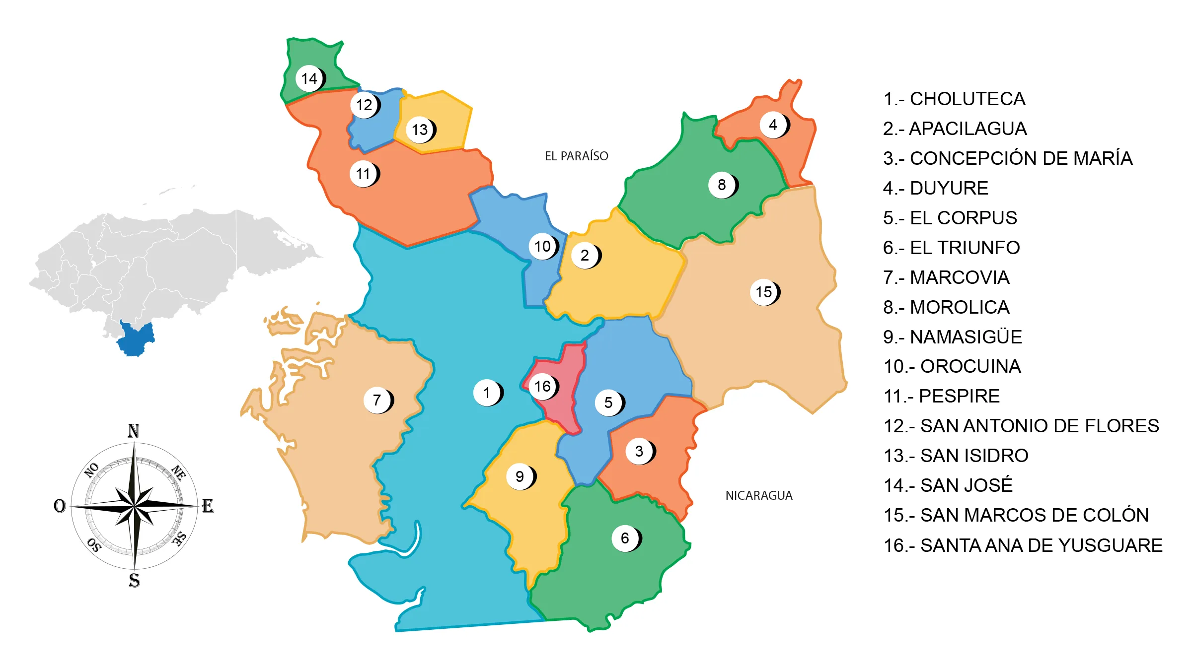
Municipalities of Choluteca
See List of Municipalities in Honduras
- Choluteca cabecera departamental
- Apacilagua
- Concepción de María
- Duyure
- El Corpus
- El Triunfo
- Marcovia
- Morolica
- Namasigüe
- Orocuina
- Pespire
- San Antonio de Flores
- San Isidro
- San José
- San Marcos de Colón
- Santa Ana de Yusguare